


When people hear "daily satellite coverage," it often sounds like the entire Earth is being observed all the time — but in reality, satellite observations are carefully planned, scheduled, and focused on specific areas.
To make this planning visible and easy to understand, we built a tool that shows how and when these observations are actually scheduled.
Understanding a Changing World — Together
At Deejing Solution, we work with partners from different fields to explore new ways of understanding how our environment is changing.
Weather patterns are changing more rapidly, often becoming more localized and forming smaller-scale cells, with effects that are increasingly extreme. Our focus is on clarity — turning complex information into something that can be easily explored, shared, and understood.
Why Radar Satellites Matter
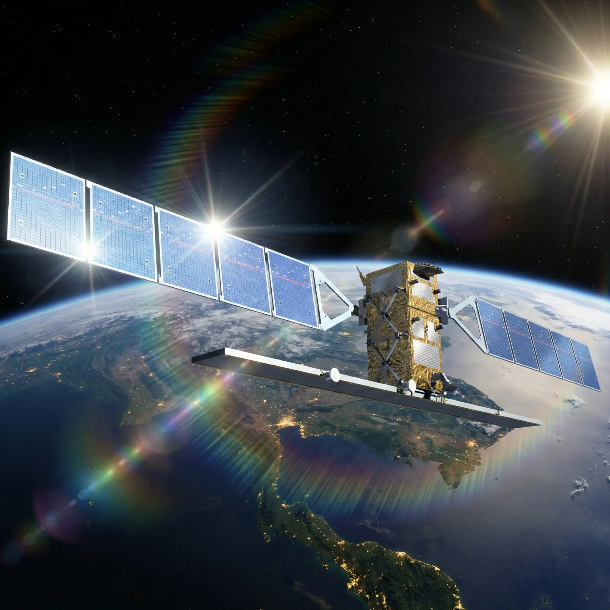
One of the key resources for our work is the Sentinel-1 radar satellite mission from the European Space Agency, including Sentinel-1A and Sentinel-1C.
Radar satellites are valuable because they can observe the Earth day and night, even in clouds, rain, or difficult weather conditions. This makes them especially useful for understanding environmental changes and weather-related effects.
This radar data is used by one of our tools in the project pipeline, helping us turn satellite planning information into clear and easy-to-understand visualizations.
First, the Tool
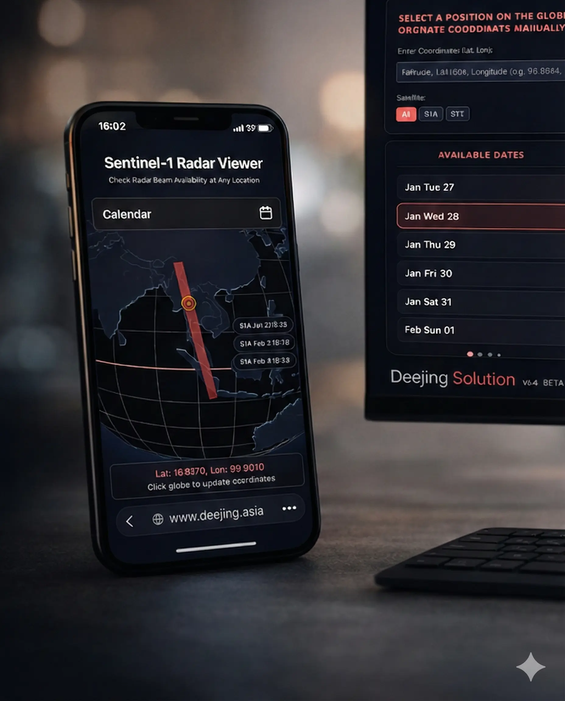
Before going deeper into explanations, here is the application itself. The tool is designed to make upcoming Sentinel-1 radar observations easy to see and easy to explore. The focus is on what is planned — not on historical data.
A Simple Way to Explore Upcoming Observations
The app offers two intuitive ways to explore future radar observations:
Choose a Location
Enter GPS coordinates or simply click on a point on the globe. The app immediately shows the planned dates and times when a Sentinel-1 radar beam will scan or pass near that location.
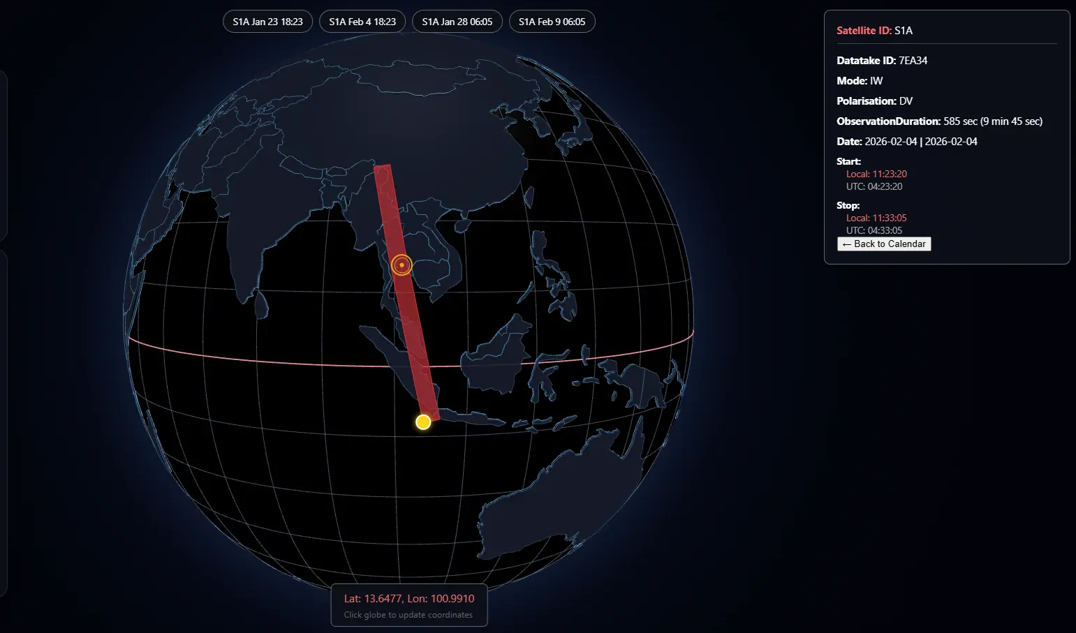
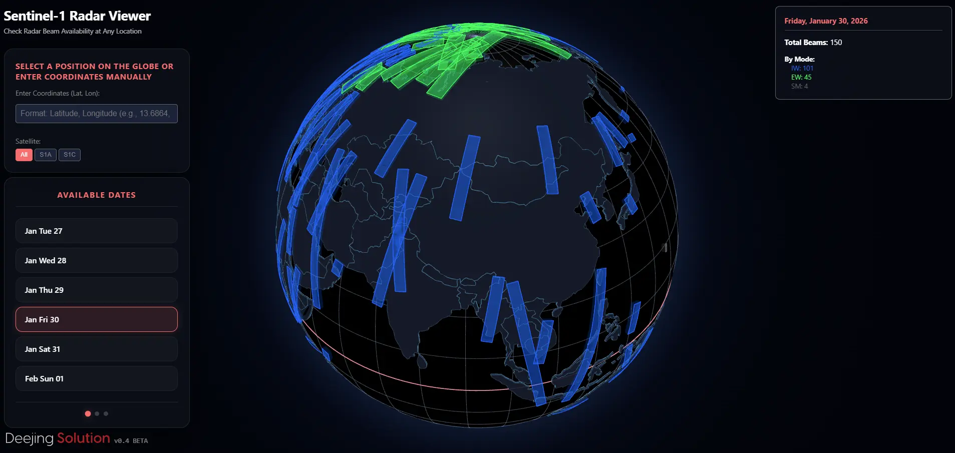
See Upcoming Radar Passes
Browse future overflights by date to see which regions will be observed by Sentinel-1A and Sentinel-1C. This view supports planning and provides a clear overview of upcoming activity.
Both options are designed to be simple, clear, and easy to use , even without a technical background. We show you all the important information you need, so you can easily decide what to do next, whatever your goal or archive needs may be.
Official Data Sources
All information shown in the app comes directly from the official Sentinel-1 acquisition plans published by the Copernicus program: Official Acquisition Plans
What's Next
As with all our tools, this one will grow over time. Additional features are already planned, including new ways to visualize satellite movement and observation context.
We will share updates and new capabilities through our social media channels as they become available.